The Wahagalla Oya and Kurugoda Oya Convergence
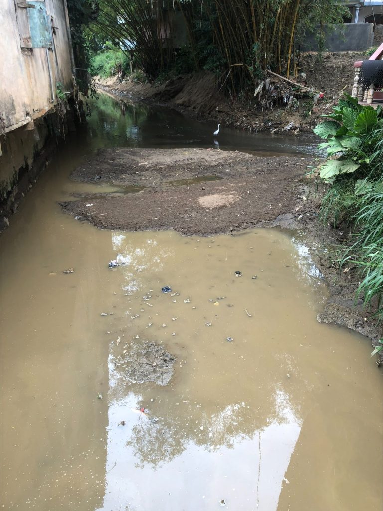
These pictures are taken from the bridge over Dunuwilla Road. We should think about the river and observe the things that folks do not pay attention to. You can see the,
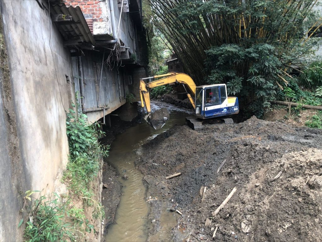
1. There is still natural vegetation on the Wahagalla Oya side – despite the Bulldozer messing up the river – there is still vegetation – Bamboo Groves in the heart of Akurana.
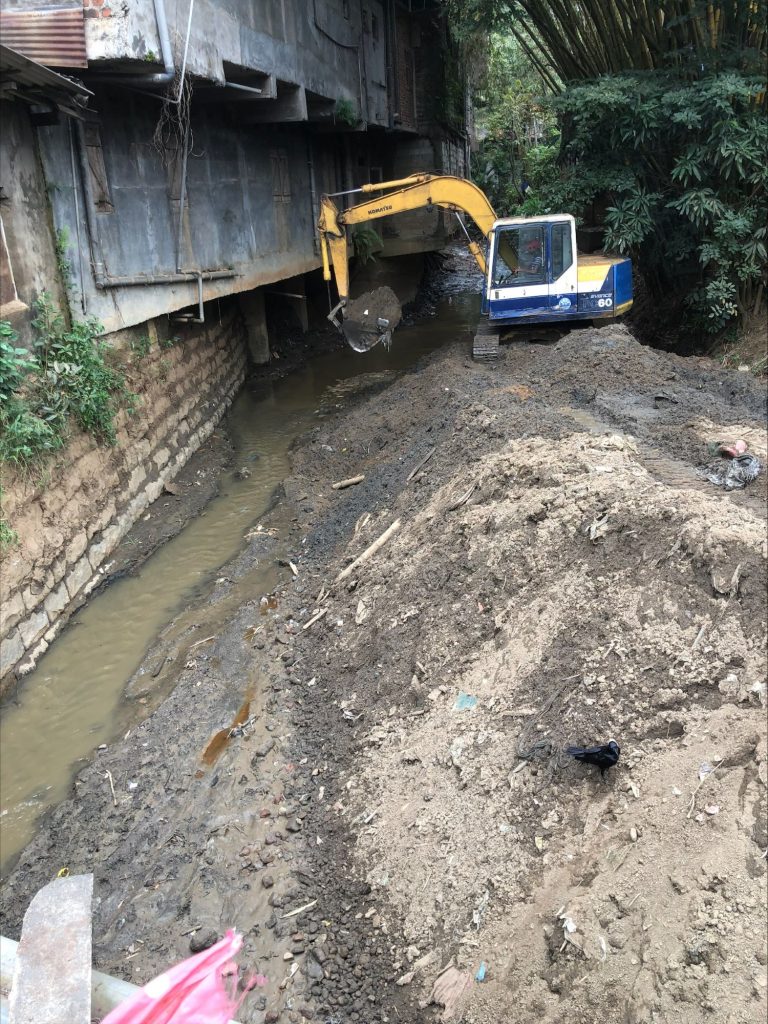
2. The old dressed stone wall on the left side of the river has been built over and the building extends with a cantilever into the river – more on the second floor – this cuts off the sunlight needed for life on the river.
3. The convergence of the river brings with it seasonal variation in silt deposits – here you can look at the main branch of the river in the first photo and see islands of silt that change from one rain event to the next.
4. See that across the road, you have a bamboo grove and there is still hope for the river.
5. Finally, here too there is a bird – that is surviving but in many ways, the toxins are really hurting the aquatic life.
River convergence
This is where Wahagalla Oya unites with Kurugoda Oya, and it flows downstream to join Pinga Oya. The water from the Wahagalla Oya is muddy, while the water in the Kurugoda Oya is clear.

A cross-section between the bridge and the riverbed
The floods in Akurana begin here. Level of the road is 449.85 m (Mean Sea Level). Cross-section between the bridge and the river bed is narrow because of the construction there, and also shallow because of the silt formation. After heavy rains there is insufficient cross-sectional area for water flow, since water from two rivers meets here.
Silt removal
A backhoe has been used to remove some of the silt and store it on the river bank. Some of the silt has been taken away by tipper trucks.
Following floods, attempts are made over and again to solve the problem by removing silt but nothing else. Such actions provide temporary aspects as silt build up over time, and then the flood returns.

Surrounding area
There is an old trestle stone retaining wall on the right side of the river. And a cantilevered building that has been built into the river by about 3 feet. This building is obstructing the sunlight from reaching the river. The Thakkiya mosque is located on the river’s left bank.
There is some remaining vegetation and a grove of bamboo trees on the left side of the river, which helps to maintain the natural setting


